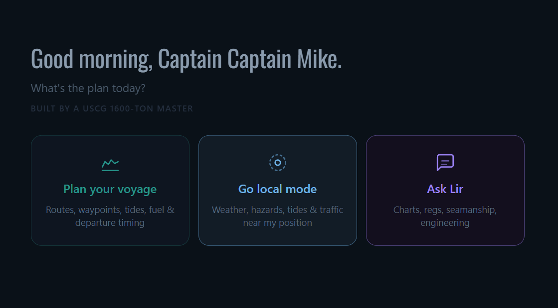
Now live on US waters
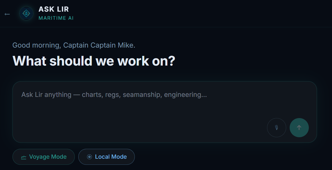
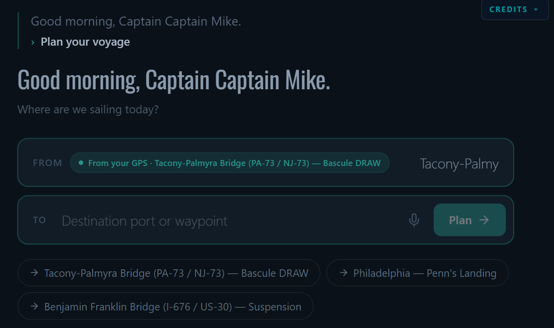
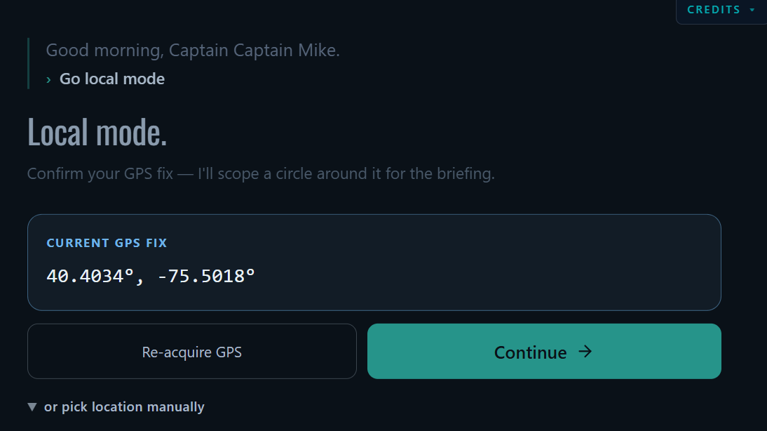
The AI crewmate
for captains.
Not a chart. Not another nav app.
The AI you wish was in the wheelhouse with you.
Built by a USCG 1600-Ton Master. Trained on Bowditch, COLREGS, the full CFR, USCG manuals, NAVEDTRA, and marine engine manuals. Wired live to NOAA, USCG, USACE, and NWS.
Captain $19.99/month · Pro $30/month · 2,500 free credits to start